Wind, hail, and lightning
Severe Thunderstorm Watch Hail Size: One-Inch Context
Understand severe thunderstorm watch hail size criteria, why one-inch hail matters, how reports use diameter, and what a watch cannot guarantee.
A plain explanation of the one-inch severe-hail threshold, NWS hail-size reporting by diameter, and why a watch does not guarantee hail at every location.
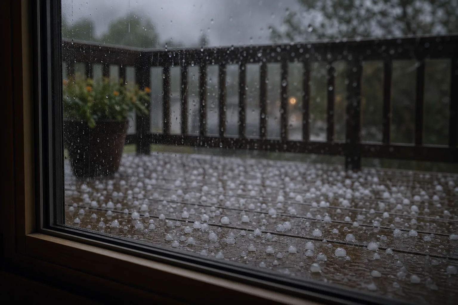
Severe thunderstorm watch hail size questions usually refer to the one-inch hail criterion. NWS defines severe thunderstorms as storms capable of producing hail that is an inch or larger or wind gusts over 58 mph, and the NWS glossary defines severe thunderstorm hail as at least one inch in diameter. The hail-size glossary lists quarter-sized hail as 1.00 inch, which is why quarter comparisons appear in warnings and reports. During a watch, that criterion means severe hail is a possible hazard somewhere in the broad watch environment. It does not guarantee hail, or one-inch hail, at every address. Use the free ZIP checker for current watch status and weather.gov for warnings.
Direct answer
The severe-hail threshold is one inch in diameter. A Severe Thunderstorm Watch can be issued when severe thunderstorms are possible, and severe thunderstorms are defined in part by hail at that size or larger. The watch tells you the atmosphere may support storms capable of meeting severe criteria; it is not a live hail measurement, a hail tracker for your street, or a property-damage prediction.
That is the most important boundary for the search query. People often ask the hail-size question because they want to know whether to act. The watch-stage answer is: monitor, prepare, and know what changes during a warning or active storm. If you need the general watch meaning first, read what a Severe Thunderstorm Watch means. Then return here for the hail threshold itself.
The official one-inch hail criterion
The checked NWS sources are consistent on the key number. The NWS Severe Thunderstorm Safety page says severe thunderstorms are officially defined as storms capable of producing hail that is an inch or larger or wind gusts over 58 mph. The NWS glossary says a severe thunderstorm is a thunderstorm that produces a tornado, winds of at least 58 mph, and/or hail at least 1 inch in diameter.
The glossary also mentions approaching-severe wording for lower wind or hail levels. That does not change the severe-hail threshold for this page. One inch is the key size for severe thunderstorm hail in the cited public sources.
Do not convert the threshold into a guarantee. A broad watch may cover many places. Hail can vary sharply within a storm, and storms can vary across the watch area. One neighborhood can see larger hail while another sees rain, small hail, wind, or no storm. The threshold tells you why a storm would count as severe, not what your exact location will receive.
How hail size is reported
The NWS hail-size glossary says hail size typically refers to the diameter of the hailstones. Warnings and reports may use comparisons with real-world objects that correspond to certain diameters. In that glossary, quarter-sized hail is listed at 1.00 inch. Larger examples in the glossary include half dollar, golf ball, baseball, grapefruit, and softball sizes.
Use object comparisons carefully. They help people picture a diameter, but they are not a damage chart. A report of one-inch hail does not tell you the angle, density, duration, wind, roof condition, vehicle condition, crop type, or anything else needed to predict a specific outcome. This article does not provide insurance, roofing, auto, crop, or repair advice.
If your question is about shelter because you are in a vulnerable structure, use the relevant shelter guide instead of turning hail size into a building decision. For example, the mobile home Severe Thunderstorm Watch guide addresses a different safety constraint than this hail-size explainer.
When you repeat a hail size to someone else, keep the unit attached. “One inch in diameter” is clearer than “big hail,” and “quarter-sized” should be treated as an approximation from the glossary, not as a precise field measurement from a photo. Hail can melt, break, pile up, or be reported unevenly. If you need exact reports for an event, use weather.gov, local NWS products, or other official report sources rather than estimating from social media images.
What a Watch can and cannot say about hail
A watch can say that severe thunderstorms are possible in and near the watch area. It can include large hail as part of the hazard environment. It can give you time to monitor, adjust plans, and prepare for a warning. It cannot tell you that hail is currently falling at your address, that hail will hit your car, that a roof will be damaged, or that hail will miss.
The difference between possible and happening matters. A watch is issued before every point-level outcome is known. A warning, storm report, or local observation is more specific, but even then, urgent instructions should come from weather.gov and local alerts.
Avoid these misreads:
- “A watch means one-inch hail is falling now.”
- “A watch means every storm in the area has hail.”
- “A watch means my property will or will not be damaged.”
- “If hail is smaller than one inch, there is no need to pay attention to lightning, wind, or flooding.”
Thunderstorms can contain multiple hazards. This page stays on hail size, but the watch-stage posture is broader: stay informed and be ready to act if a warning or dangerous condition arrives.
Where to check active alerts
Current watch status belongs in the ZIP checker. Enter a five-digit US ZIP to check whether a Severe Thunderstorm Watch currently applies. If the checker cannot confirm status, do not turn that uncertainty into an all-clear.
Warnings, shelter instructions, and local emergency messages belong to weather.gov, NOAA Weather Radio, local alert systems, and local officials. A warning can identify a more immediate threat than a watch, and local conditions can change quickly.
If hail is the only word you noticed in a watch, pause and read the whole alert context. Severe thunderstorms may involve wind, hail, lightning, heavy rain, or other hazards discussed in separate official products. The one-inch threshold helps define severe hail, but the safer watch-stage habit is to keep monitoring for any reliable escalation rather than waiting for a perfect hail forecast.
If you are on or near water, hail size is not the only problem; wind, lightning, and distance from safe shelter matter too. Use the boating during a Severe Thunderstorm Watch guide for that setting. For more hazard-language explainers, return to the wind, hail, and lightning hub or the main guide library.
FAQ
Questions answered in this guide
Is one-inch hail guaranteed in the watch area?
Why do hail reports use object names?
Where should active hail and warnings be checked?
Official sources
Source ledger
These sources support the guide copy and structured data.
- Severe Thunderstorm Safety
NWS says severe thunderstorms are officially defined as storms capable of producing hail that is an inch or larger or wind gusts over 58 mph.
- NOAA's National Weather Service Glossary: Severe Thunderstorm
The NWS glossary defines a severe thunderstorm as producing a tornado, winds at least 58 mph, and/or hail at least one inch in diameter, and separately notes approaching-severe hail or wind language.
- NOAA's National Weather Service Glossary: Hail Size
The NWS hail-size glossary says hail size typically refers to hailstone diameter and gives object comparisons, including quarter-sized hail at 1.00 inch.